Stand count & emergence
Measure plant population, identify missing plants, and find underperforming zones early in the season.
Gold Hill Aerial offers one-time field mapping and recurring agricultural mapping programs powered by Agremo crop analytics. We turn drone imagery into practical field intelligence for crop health, stand counts, weed pressure, trouble spots, and more efficient spray planning.
Our recurring program visits your farm 4-6 times per year, creating a useful record from early growth through late season. That information supports better scouting, targeted spot spraying, and decisions built around your field's actual conditions.
Move each slider to compare the original aerial image with the Agremo analysis overlay.
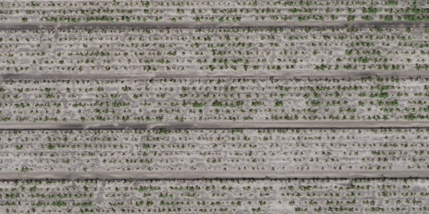
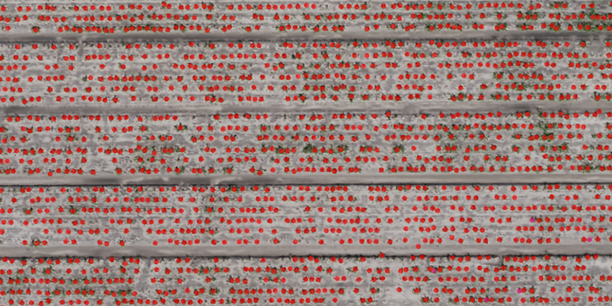
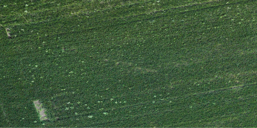
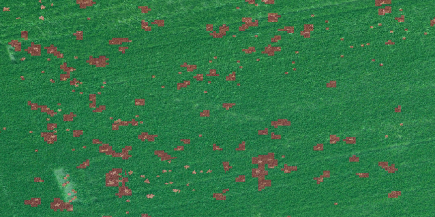
Measure plant population, identify missing plants, and find underperforming zones early in the season.
Use vegetation and plant-vigor analysis to spot field variability, stress zones, and uneven crop development.
Pinpoint weed-infested zones so scouting and herbicide decisions can focus on the areas that need attention.
Identify lodged crops, green snap, excess moisture, and other field damage for faster assessment after weather events.
Compare maps across different dates to evaluate change over time and assess the results of field operations.
Use mapped treatment zones to support precise spot spraying and variable-rate application where conditions allow.
Aerial spraying remains the core of our business. Agremo-powered mapping strengthens that service by helping identify weed pressure, compare field conditions, and guide spot spraying where it can produce tremendous chemical savings. The same attention to precision, timing, and service applies to every mission.
Build Your Field Plan